Aug 4, 2019 Day 1
21.1 miles 21.1 total miles
Waterton Canyon
I started hiking at 6:00 a.m. Walking the dusty dirt road through Waterton Canyon felt different with a heavy backpack and 500 miles ahead of me. Reminded of the miles on this road with my high school and college cross country teams, I realized, for the first time, I wouldn’t be doing an out-and-back. When the road ended, I kept walking.
The Colorado Trail begins with an easy 6.7-mile hike through Waterton Canyon in Littleton, CO, near Chatfield Reservoir and State Park. The High Line Canal Trail also begins from this point, traveling 71 miles northwest across rural, urban, and suburban Denver, CO. You could, theoretically, start from the High Line Canal Trail in Denver and hike to the start of the Colorado Trail at Waterton Canyon Trailhead, although camping is not allowed on the High Line Canal Trail or for the first 8 miles of the Colorado Trail.

At the end of Waterton Canyon is a small ranger station. The road climbs steeply up a wide rocky path then narrows to a single-track trail. I reached Lenny's Rest at the top of the climb, 7.9 miles in, early in the day. From there, the trail crosses Bear Creek at mile 8.7. The trail continues to Gudy Gaskill Bridge at mile 16.8, crossing over the South Platte River, the end of Segment 1.
I stopped here to take off my shoes and swim in the river. The day was starting to get hot and the water felt refreshing. I filled my water bottles, looking at the Guthook app (now FarOut) for the next water source, a spigot at a fire station 10 miles away.
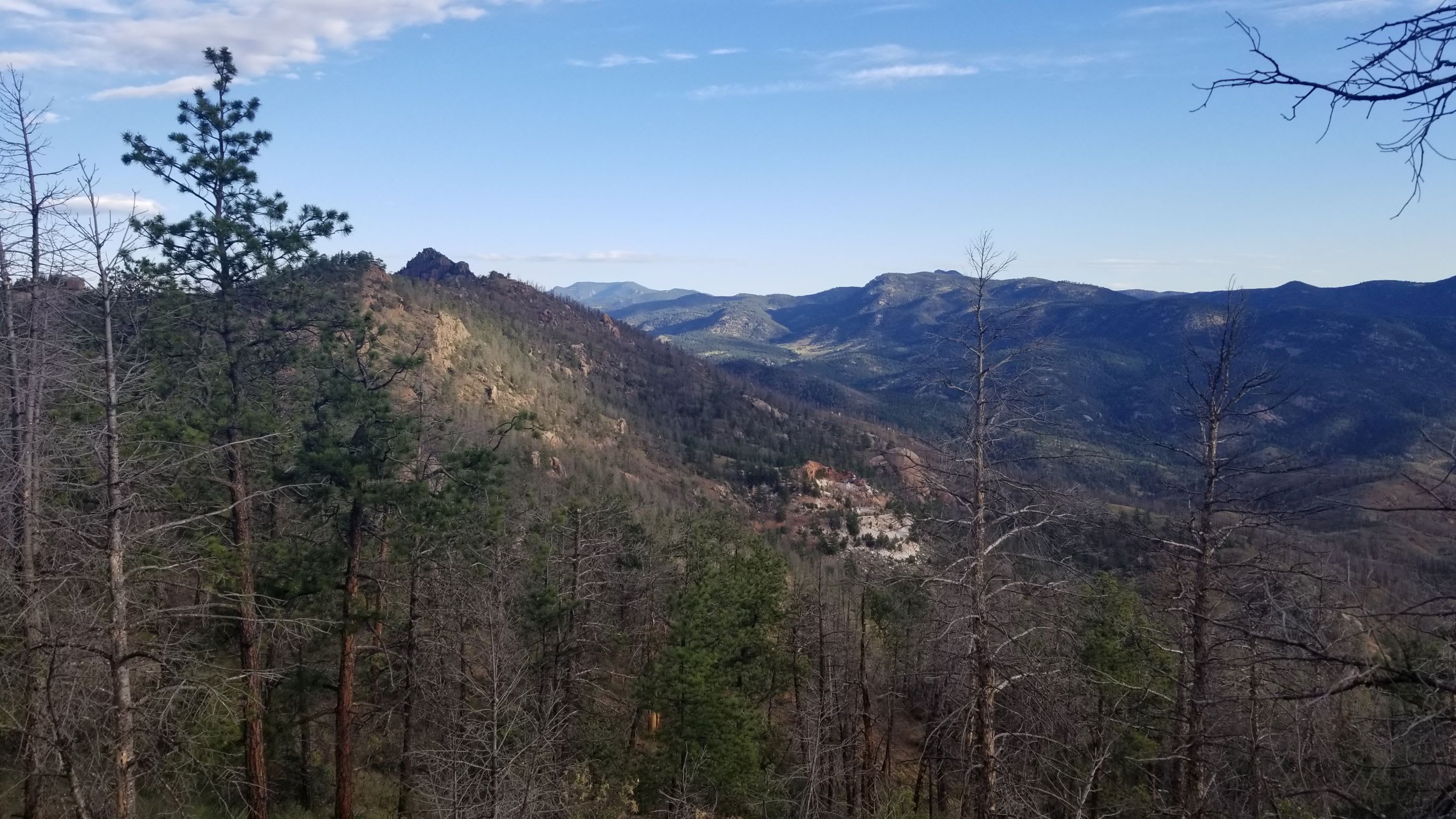
Past the South Platte River crossing, the trail carves through the burn scar of the 1996 Buffalo Creek Fire, charred trees and bare hills contrasting with the expansive views of Raleigh Peak and surrounding foothills.

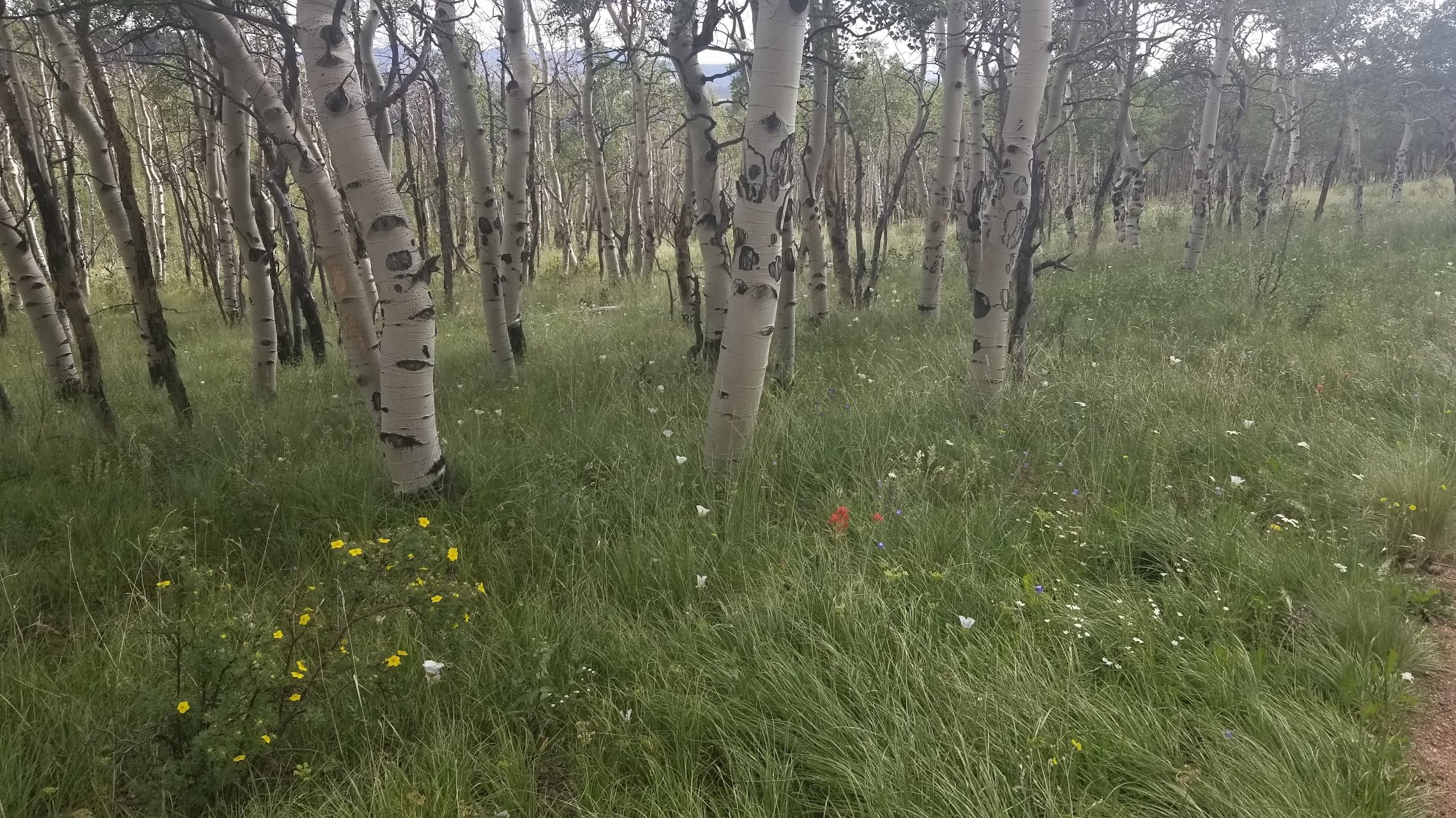
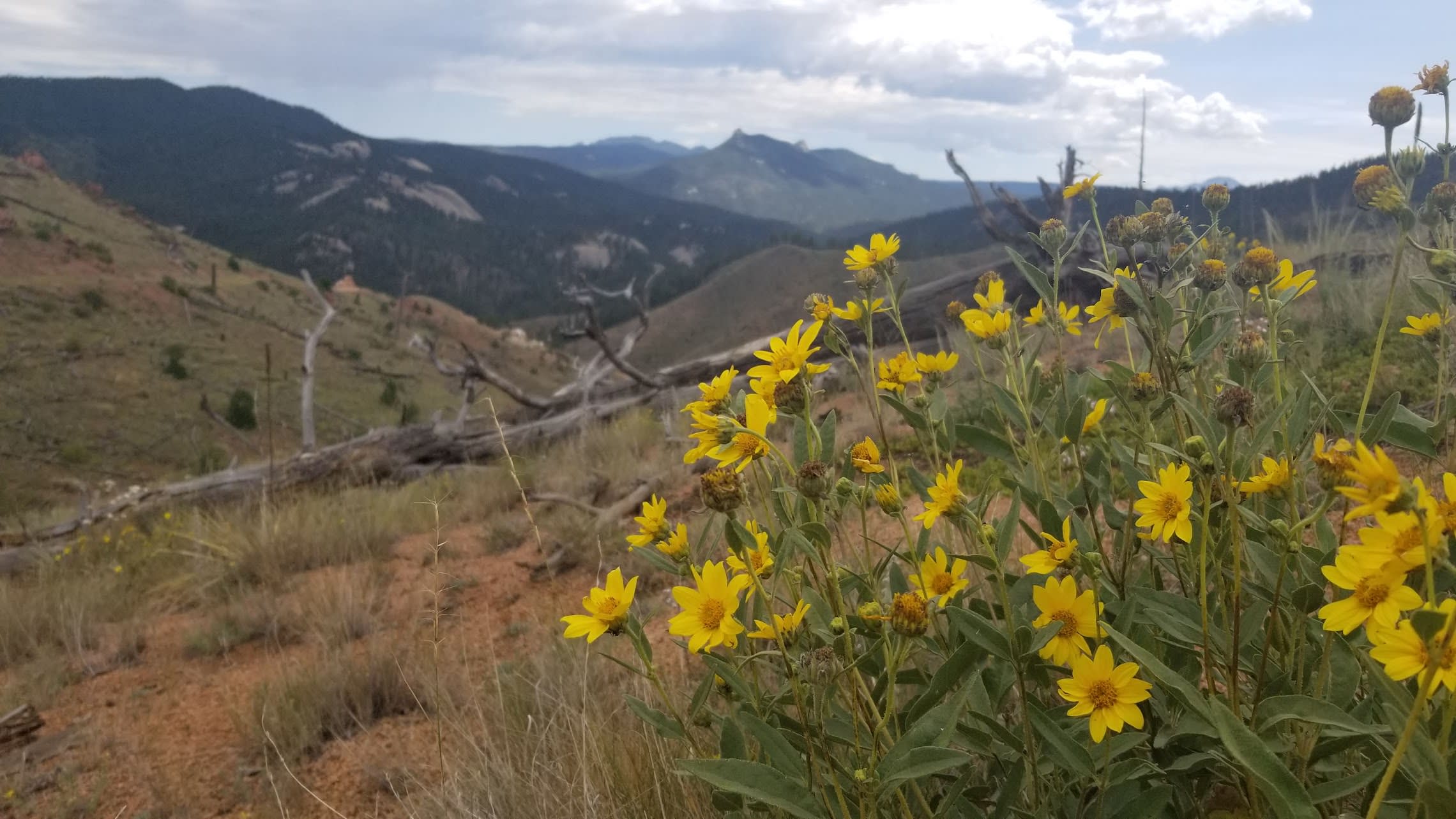
By 3:30 p.m, I reached my planned mileage, 5 miles into Segment 2 and still 5 miles away from water at the fire station. While planning for my thru-hike, I'd used the Colorado Trail Guidebook, 9th Edition, to look ahead for camping sites. With plenty of daylight left, reluctant to deter from my plans, I set up my tent in a grassy clearing surrounded by pines and yellow wildflowers. The sky was starting to cloud over. A crude fire ring sat in the center, with fallen trees arranged as benches. The ground was dry and packed with pebbles. I used a few large rocks to hold down my tent stakes
I realized I made my first mistake as I dug through my backpack. I’d left my wallet at my brother's apartment. I sent him a hopeful text asking if he could mail my wallet to Breckenridge, where I’d already shipped a resupply box. I sorted through the rest of my gear, wondering if I’d forgotten anything else.
Dinner tonight was dehydrated chili from Harmony House and string cheese. As the sun started to set, I kept looking up, hearing footsteps, but seeing no one.