Aug 14, 2019 Day 11
27.7 miles 234.8 total miles
Collegiate West
Today, I continued across the rugged, scenic, and exposed Collegiate West. I left camp at Illinois Creek and followed the Texas Creek Trail, walking alongside streams and several small, quiet beaver ponds. The trail intersected Waterloo Gulch and brought me across North Texas and Texas Creek.


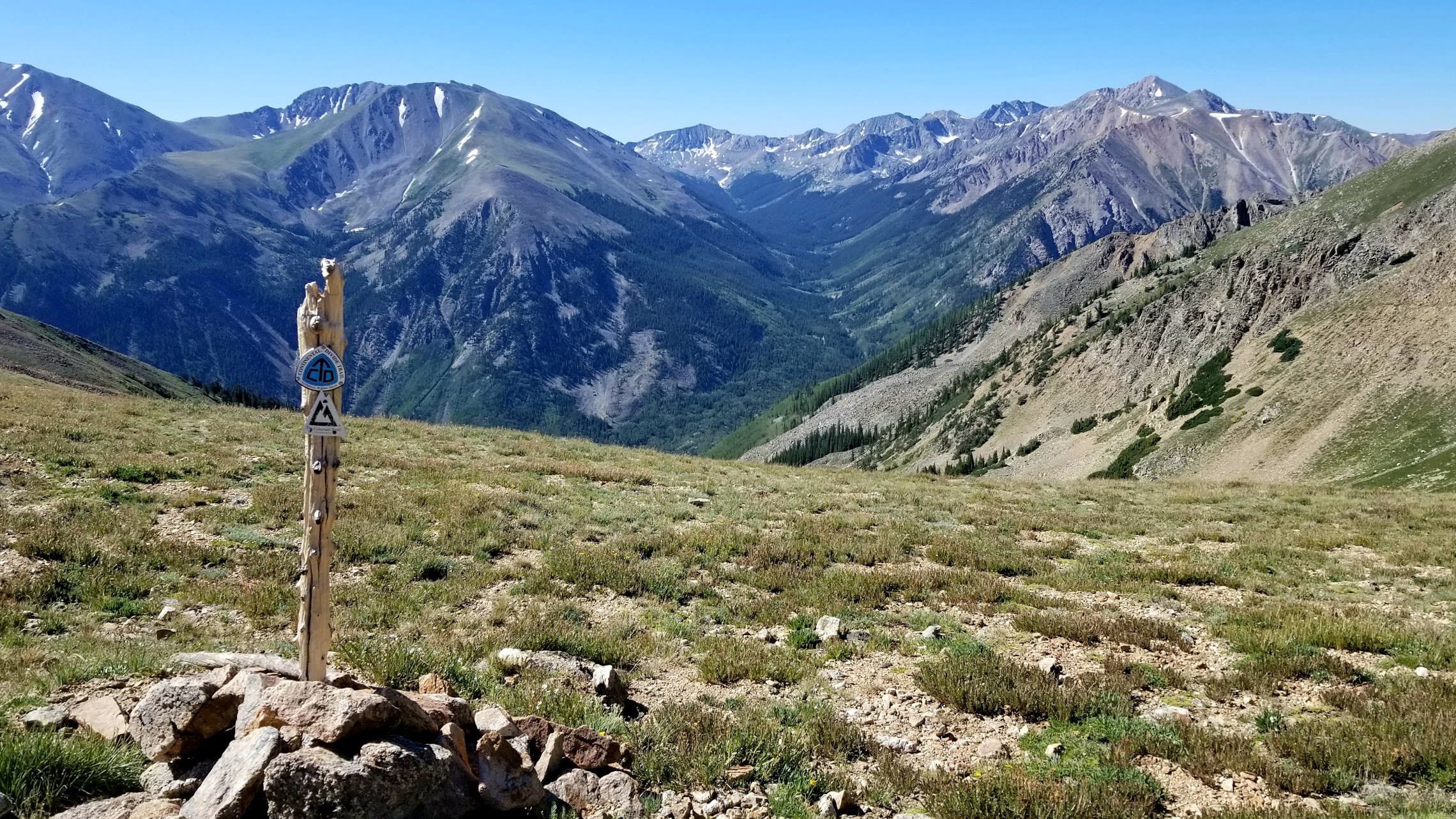
The trail climbed, gaining elevation until I reached Cottonwood Pass and the end of Segment CW02. Cottonwood Pass was busy. Hikers here warned me about the miles of exposed ridge above timberline, but it was still early in the day, and I kept a close eye on the clouds. Segment CW03 is the highest segment in the Collegiate West, averaging above 12,000 feet. The Colorado Trail Guidebook recommends completing this section in a single day and planning for limited camping. I decided to go for it.

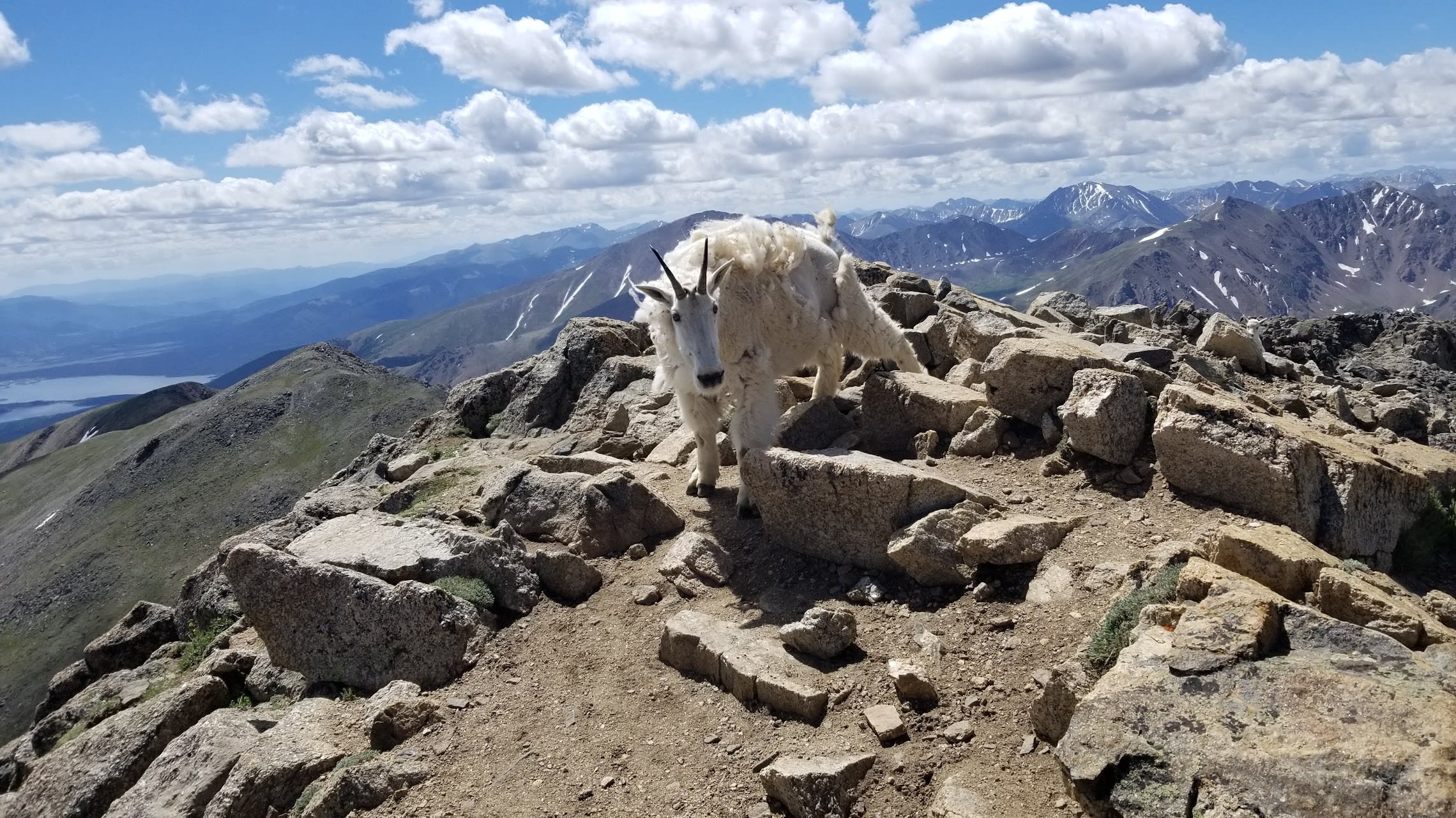
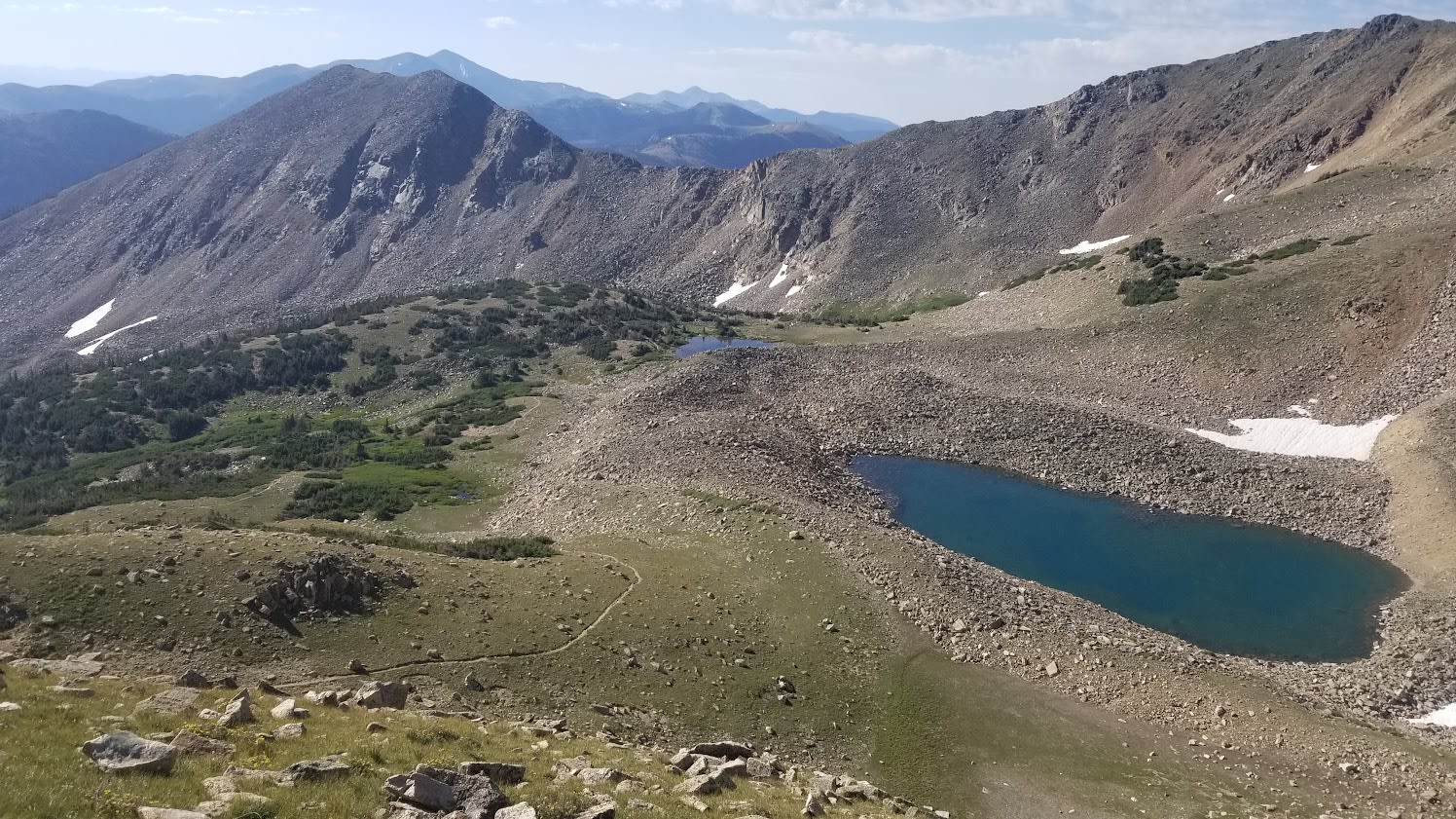
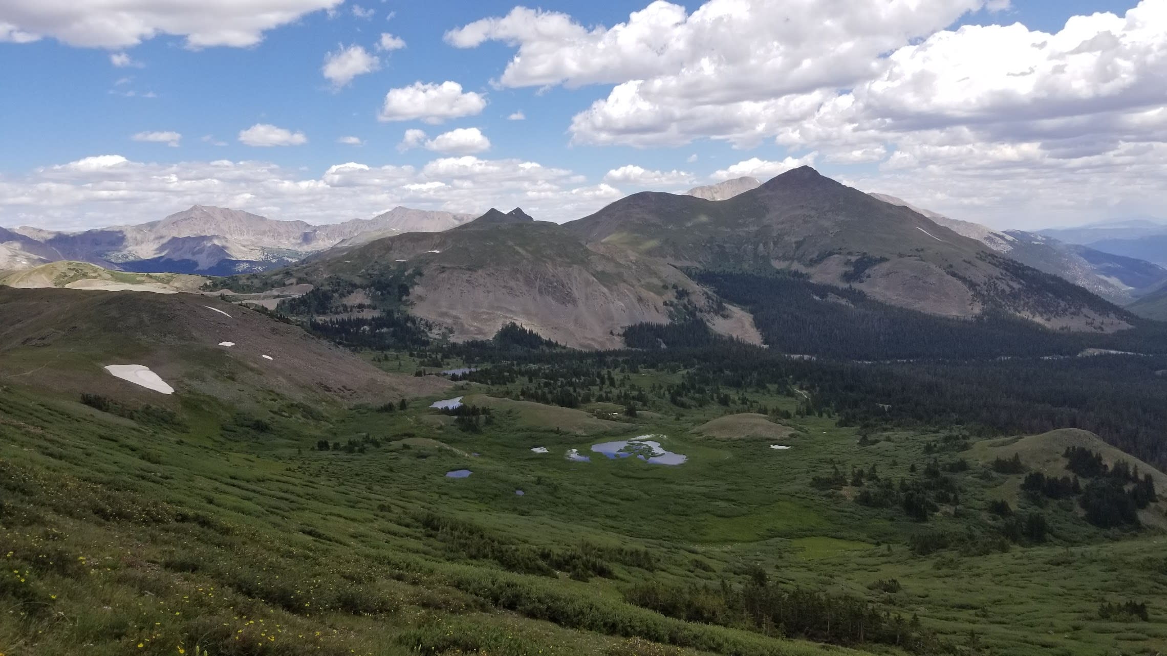
The trail climbed above Taylor Park to the west, with stunning views of the Collegiate Peaks. I passed Lost Lake, climbed up to Sanford Saddle and the Continental Divide at 12,750 feet, and then descended briefly into Mineral Basin. Here I crossed snow for the first time. After miles of talus fields, high mountain meadows, and strenuous climbs and descents, I was on top of a high ridge below Emma Burr Mountain at 12,780 feet, the highest point of the Collegiate West.


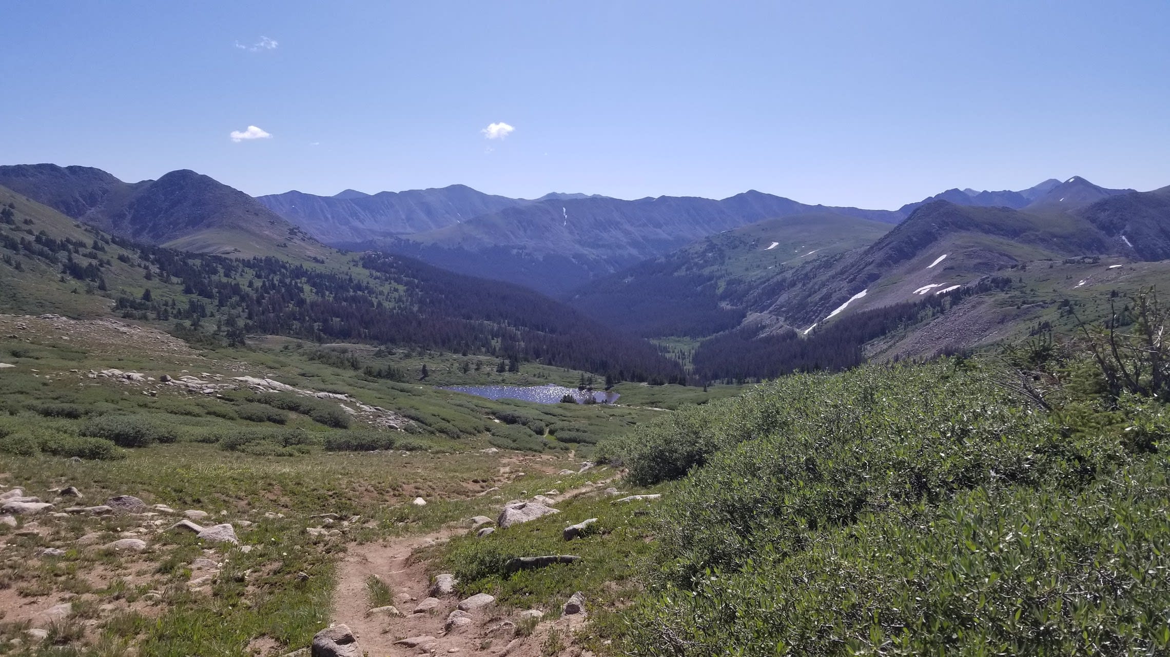
From there, I descended into the Woodchopper Creek drainage and finally down the switchbacks to Tincup Pass Road, the end of Segment CW03, where I found a campsite just off the road. I had run out of water, my face was sunburnt, and I felt exhausted — but it was an incredible day on the Collegiate West.